Research and Innovation
SWMS - Smart Water Management System
Management System
The solution for the optimized management of the Integrated Water System from Industry 4.0 perspective
Research and Development
Due to its corporate history, Sistemi Territoriali has always believed in and invested in research and development, both by participating in research projects with Regional, National and Community funding and by investing internally with its own funds. For this reason, the company has an active laboratory dedicated to research and development, which has as its main objectives those of:
Big Data
Skills
Text Mining on web data
- Content analysis of web pages, blogs, tweets, social networks and reviews
- Sentiment Analysis and Web Reputation: how a phenomenon, an entity, a service or a product is perceived on the web
- Profiling of user behaviour
Collection, processing and delivery of data
- Structure and socio-demographic and economic profiling of the territories
- Catering, hospitality, art and culture, leisure
GeoBusiness Intelligence
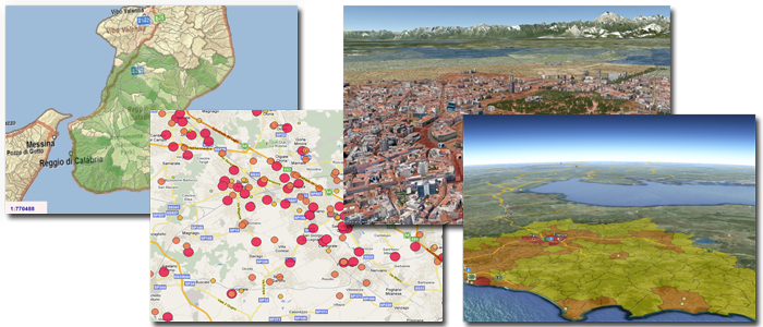
GeoBusiness Intelligence is the use of spatial analysis, typical of GIS systems, in Business Intelligence environments, in order to understand the phenomena observed in a territorial context. GeoBusiness Intelligence has been active in the company since 1996, but geographic Business Intelligence systems have been developed by company personnel since the 1980s in research activities of the CNR.
System Integration
Skills
Transversal solutions at different levels of integration
- Data oriented - data systems integration and construction of centralized data warehouses
- Applications - interfacing and interoperability between enterprise applications
- User interfaces - standardization and unification of user interfaces between different applications
- Enterprise processes - review of business processes and logical and functional unification at the enterprise level
Geographic Information Systems
The GIS (short for "Geographic Information System") is a powerful set of tools to collect, store and recall if necessary, transform and represent spatial data from the real world (Burrough, 1986).